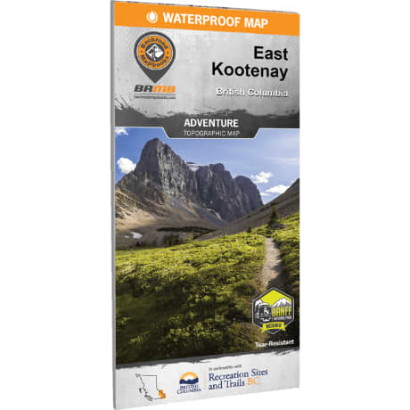
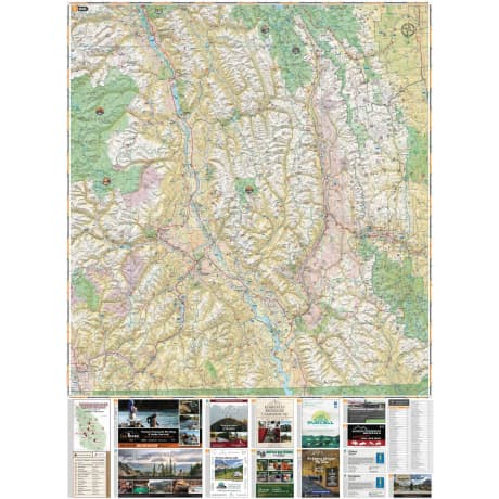
Backroad Mapbooks East Kootenay BC - Waterproof Recreation Map
Article # C: 347799 B: 3579070
Share:
Product Description
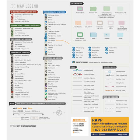
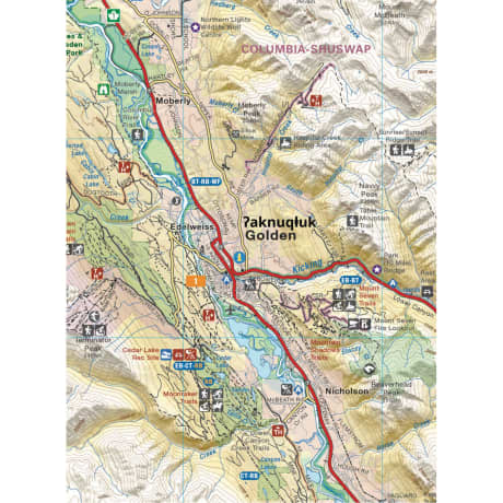
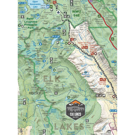
• TRAILS & ROUTES - Thousands of kilometers of trail systems for ATVing, paddling, snowmobiling, hiking, mountain biking, cross-country skiing and snowshoeing
• HUNTING - Highlighted Wildlife Management Units (WMUs) for anglers and hunters
• FISHING - Labeled fish species and stocking information for fishing lakes and rivers
• AREA FEATURES such as Regional Districts, Ski Resorts, Mountain Caribou motorized restricted areas, First Nations, Private and Leased Land, and more
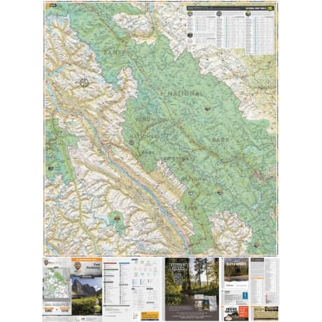
• TRAIL CHARTS for National Parks including Banff National Park, Kootenay National Park, Glacier National Park, and Yoho National Park
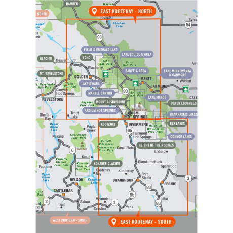
Tucked away in BC's southeastern corner is one of the province's most exciting outdoor adventure destinations the East Kootenays are a land of deep lakes, crystal-clear rivers, towering mountains and wide-open valleys. This waterproof recreation map charts the entire region, from the healing waters of Radium Hot Springs to the mountain playground around Fernie, the wilderness of the Purcell Range and beyond. We have expanded the map coverage north to include all of Banff National Park in Alberta, more of the Flathead area, the area north of Golden, and even a portion of the West Kootenays. Printed on durable, water-resistant material and loaded with industry-leading cartographic detail, this is your ultimate guide to one of Canada's premier outdoor recreation areas.
Size: 86 x 117 cm (34 x 46.25 inches)
