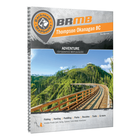
Backroad Mapbooks - 5th Edition Thompson Okanagan
Article # C: 247413 B: 2811162
Share:
Product Description
• 51 maps at 1:200,000 scale
• The most complete road coverage for the Thompson Okanagan, from highways to logging and mining roads
• Labelled Crown and private land
• Labelled fish species shown on maps
• Fish stocking charts for brook trout, kokanee, rainbow trout and salmon
• Updated trail charts for the region’s main hiking areas including Cathedral Provincial Park and Wells Gray Provincial Park
• Countless trails for hiking, mountain biking, horseback riding, cross-country skiing, snowmobiling, ATVing and snowshoeing
• Clearly defined Wildlife Management Units for hunters
• Paddling routes and portages for canoers and kayakers
• Thousands of Adventure POIs including campsites, viewpoints, waterfalls and boat launches
• Community Profiles for the region’s major centres
• Easy-to-use index divided into Map and Adventure sections
• And much more!
From the lush forests of Manning Provincial Park to the sparkling waters of Okanagan Lake, the arid desert landscape around Osoyoos, the pristine beaches of the Shuswap and the vast wilderness of Wells Gray Provincial Park, the Thompson Okanagan is an incredible destination for outdoor adventurers. Whether you are looking to hike, camp, fish, view wildlife, ATV, ski, snowmobile or just enjoy the sights, the latest edition of the Thompson Okanagan Backroad Mapbook is your ultimate recreation guide to the area.


