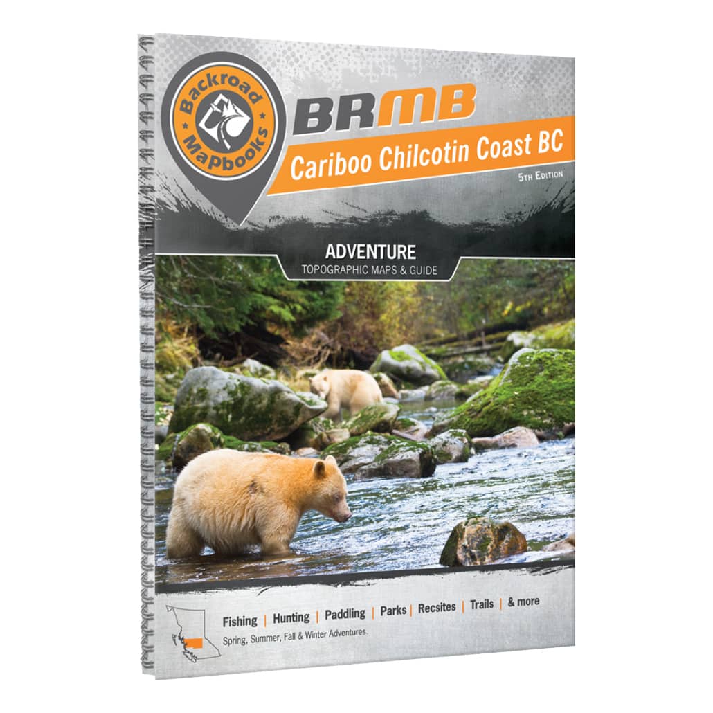
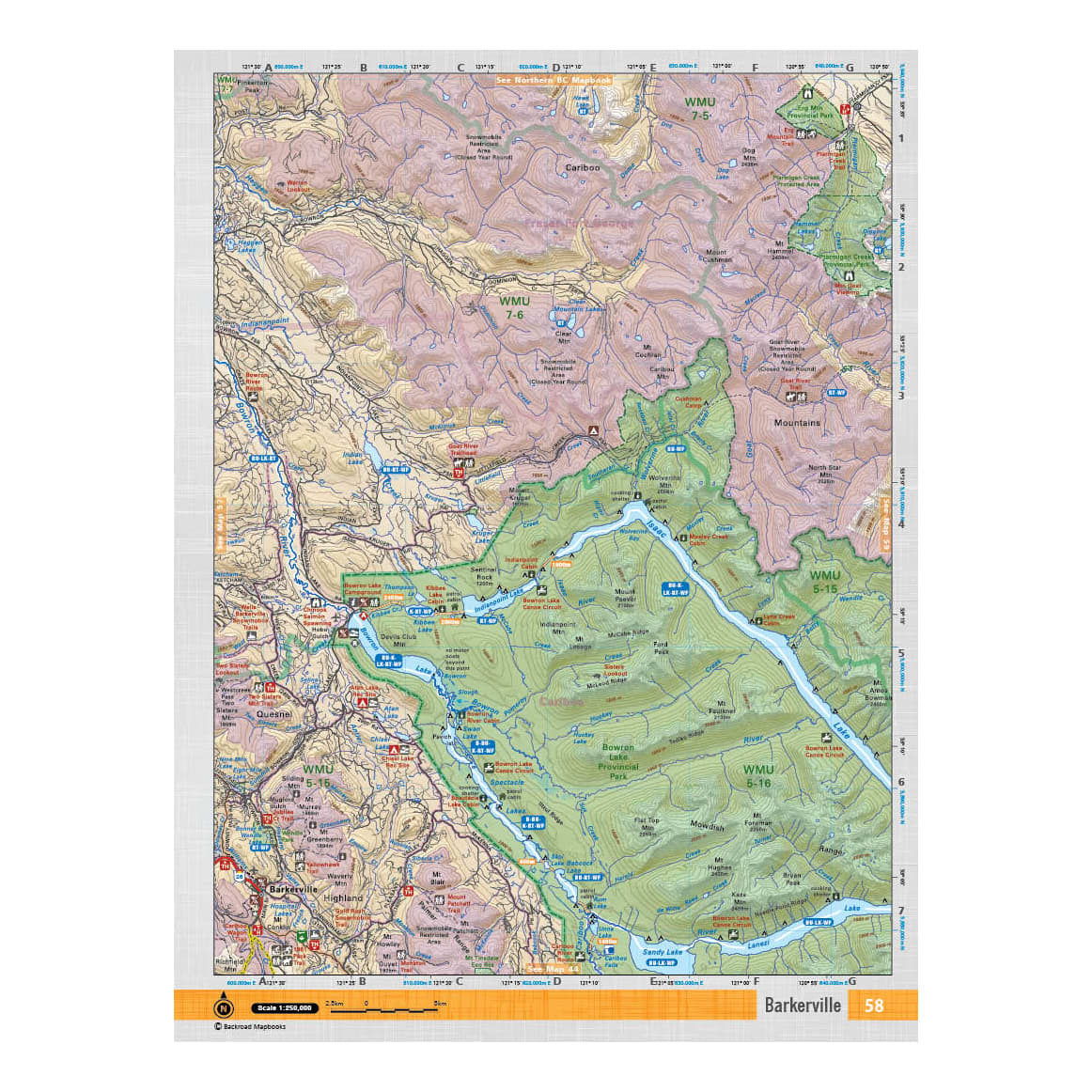
Backroad Mapbooks - Cariboo Chilcotin Coast BC
Article # C: 239841 B: 2763659
$24.77 Was $29.95, You Save $5.18 (17%)
Place your order for curbside pick-up or select from more ways to shop!
Share:
Product Description
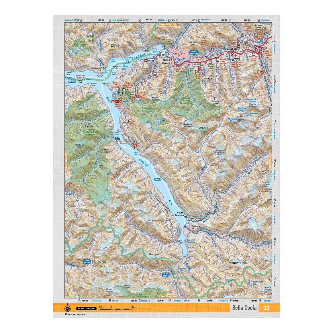
• 59 maps at 1:250,000 scale
• The most complete road coverage for the Cariboo Chilcotin Coast, from highways to logging and resource roads
• New addition of Crown and private land and labelled fish species to the maps
• Brand new trail charts for the region’s main hiking areas including South Chilcotin Mountains Park, Tweedsmuir Park and the Wells/Barkerville area
• Brand new fish stocking charts for brook trout, rainbow trout and kokanee
• Countless trails for hiking, paddling, mountain biking, horseback riding, cross-country skiing, snowmobiling, ATVing and snowshoeing
• Clearly defined Wildlife Management Units
• Paddling routes for canoeing and kayaking
From the Northern Rockies to the Chilcotin Plateau, the Coast Mountains and the many hidden valleys, lakes and viewpoints, the Cariboo Chilcotin Coast region is an incredible place to explore. Whether you are looking to fish, camp, hunt, ATV, snowmobile, hike or just enjoy the sights from your vehicle, the latest edition of our Cariboo Chilcotin Coast Mapbook is your ultimate guide to the area.
Features:
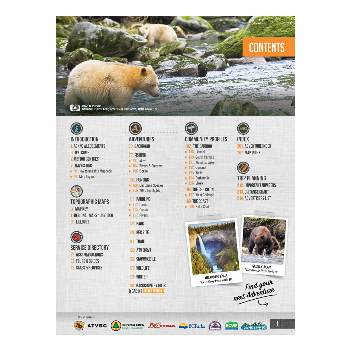
• Close to 40 backroad attractions
• Over 500 lake, river and ocean fishing hotspots
• Close to 30 backcountry huts and cabins
• Over 50 paddling routes for canoers and kayakers
• Close to 90 parks including provincial, national and regional parks
• Close to 240 recreation sites
• 30 ATVing areas
• Over 50 snowmobiling areas
• Close to 230 multi-use trails for hikers, mountain bikers, cross-country skiers, horseback riders and snowshoers
• Over 70 wildlife viewing areas
• 30 winter recreation areas
