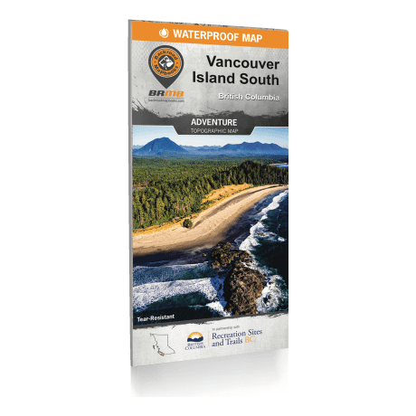
Backroad Mapbooks - Vancouver Island South Waterproof Mapbook
Article # C: 298082 B: 3387104
$16.77 Was $19.95, You Save $3.18 (15%)
Place your order for curbside pick-up or select from more ways to shop!
Share:
Product Description
• Easy-to-read, large-scale, dual-sided 34” x 56.25” maps derived from our Backroad Mapbooks at 1:20,000 scale
• The most complete Resource, Industry, and Logging road coverage available for southern Vancouver Island
• Waterproof, tear-resistant material that can withstand any storm or gale.
• Hundreds of land and water geographic features.
• Highlighted Wildlife Management Units for anglers and hunters
• Private Land Areas and gates identified
• Top Parks and Recreation Sites highlighted along with trail charts for Pacific Rim National Park, Strathcona Provincial Park & Epic Backpacking Hikes
The Backroad Mapbooks Vancouver Island South Waterproof Mapbook features the breathtaking wilderness of Strathcona Provincial Park to the historic Victoria waterfront, Southern Vancouver Island provides endless recreational opportunities. From Mount Washington and its world-class skiing in the north to the surfer’s paradise of Tofino in the west, along with the beautiful Pacific Rim National Park and the Gulf Islands, Southern Vancouver Island has an outdoor adventure waiting for everyone. To make navigating this diverse region easier, this dual-sided map is printed on durable, waterproof paper and includes industry-leading cartographic detail, colour-coded Provincial Parks, countless points of interest, hiking trails, campsites, beaches, paddling routes and more!


