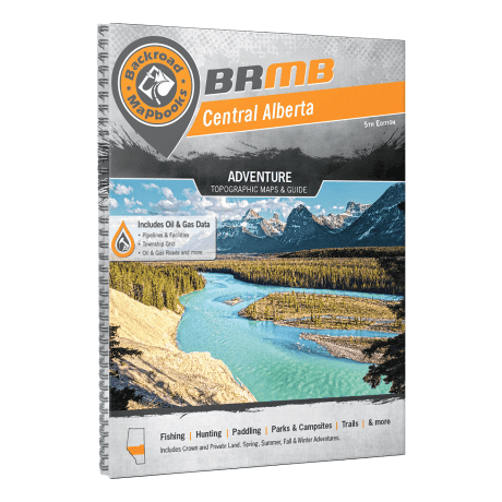
Backroad Mapbooks - Central Alberta Mapbook 5th Edition
Article # C: 240212 B: 2763661
Share:
Product Description
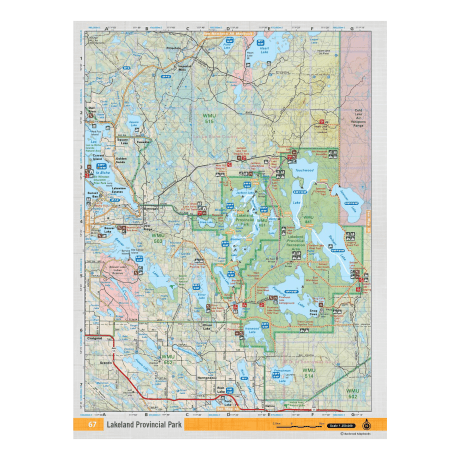
• 69 maps at 1:250,000 scale
• The most complete road coverage for Central Alberta, from highways to logging and resource roads
• Labelled Crown and private land and labelled fish species on the maps
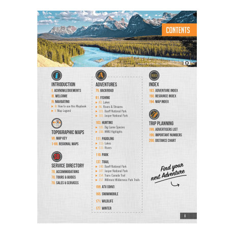
• Brand new trail charts for the region’s main hiking areas including Banff National Park, Willmore Wilderness Provincial Park, the Trans Canada Trail and more
• Brand new fish stocking charts for brook trout, rainbow trout, northern pike, walleye and more
• The most complete resource and industry site coverage for the region including gas plants, weight scales, refineries and more
• Countless trails for hiking, mountain biking, horseback riding, cross-country skiing, snowmobiling, ATVing and snowshoeing
• Clearly defined Wildlife Management Units for hunting
• Paddling routes for canoeing and kayaking
• And much more!
From the legendary fishing lakes around Lac La Biche to the ice-capped peaks of the Rocky Mountains and the sprawling prairies in between, Central Alberta is a region full of outdoor adventure. Whether you are looking to fish, camp, hunt, ATV, snowmobile, hike or just enjoy the sights from your vehicle, the latest edition of our Central Alberta Backroad Mapbook is your ultimate guide to the area, including all of Central Alberta’s resource and industry sites.


