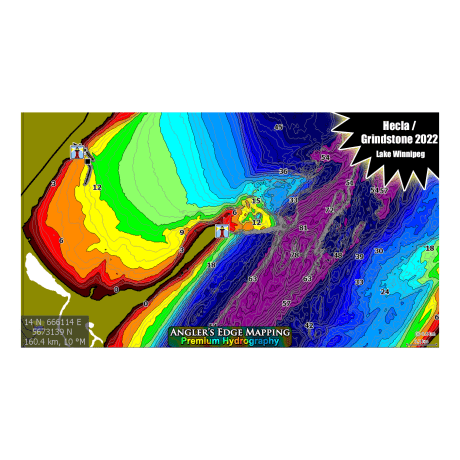
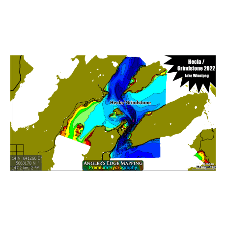
Angler's Edge Mapping Lake Winnipeg 2022
Article # C: 221671 B: 2720706
Share:
Product Description
• Detailed spot-on-the-spot quality mapping for entire lakes
• Accurate, true-to-life location & shape of structure, features & shorelines
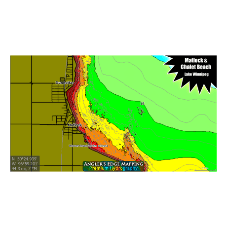
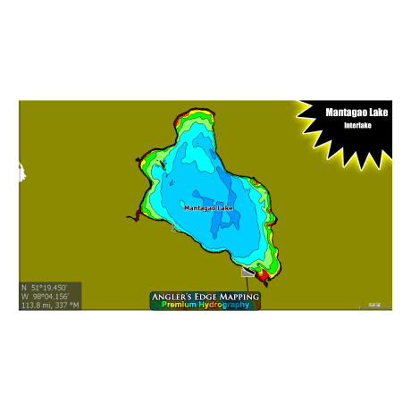
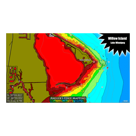
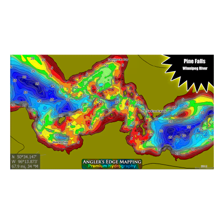
• User friendly chromatic colour palette makes determining depth easy (purple = deep, red = shallow)
• Exclusive coverage for many lakes
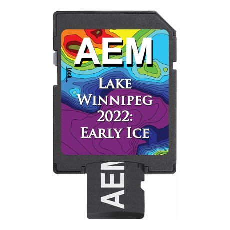
Angler’s Edge Mapping (AEM) Digital Maps allow you to view your favorite water bodies like never before, making your fishing trips more productive. We map. You fish. Created from AEM exclusive survey data, carefully processed using modern equipment and techniques, these maps have set a new standard in Manitoba & Northwest Ontario.
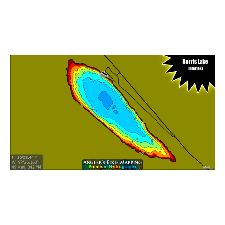
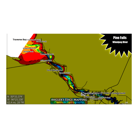
Coverage includes: Lake Winnipeg South (South Basin from Gimli to Belair to south shore + Hecla/Grindstone 2022), Grand Rapids (tailrace to bridge), Red River: North (Lockport to Lake Winnipeg), Red River: Central (Lockport to St. Norbert Gates), Pine Falls (generating station to last nav buoy at mouth of Traverse Bay), Gull Lake, Manigotagan River (Lower), Mantagao Lake, Norris Lake
• AEM catalog expands annually, and existing customers can upgrade for reasonable prices when new content is released
Compatible with Lowrance® sonar models:
HDS Button Models, Gen 1 & 2
• HDS-5, HDS-7, HDS-8, HDS-10
HDS Touch Models, Gen 2, 3 & Carbon & Live
• HDS-7, HDS-9, HDS-12, HDS-16
Elite Models
• Elite-4 Chirp/HDI, ELITE-5M, Elite-5 Chirp/HDI, Elite-5 TI, Elite-7 Chirp/HDI, Elite-7 Ti, Ti2 & FS, Elite-9 Chirp, Elite-9, Elite-9 Ti, Ti2 & FS, Elite-12 TI & Ti2, + All “Ice Machine” Versions.
Hook Models
• Hook-4, Hook-5, Hook-7, Hook-9
Hook2 Models
• Hook2-5, Hook2-7, Hook2-9, Hook2-12
Hook Reveal Models
• Hook Reveal 5, Hook Reveal 7, Hook Reveal 9
***AEM digital maps are also compatible with modern Simrad and B&G sonars.
