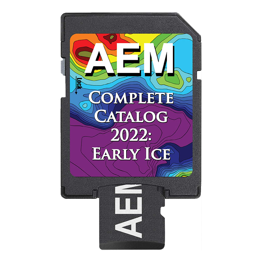
Angler's Edge Mapping Complete Catalog 2022
Article # C: 157934 B: 2745687
Share:
Product Description
• Detailed spot-on-the-spot quality mapping for entire lakes
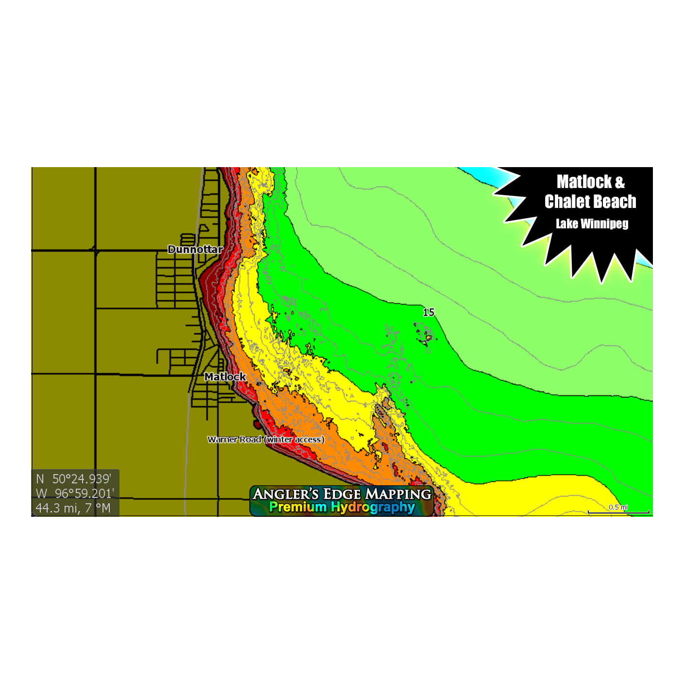
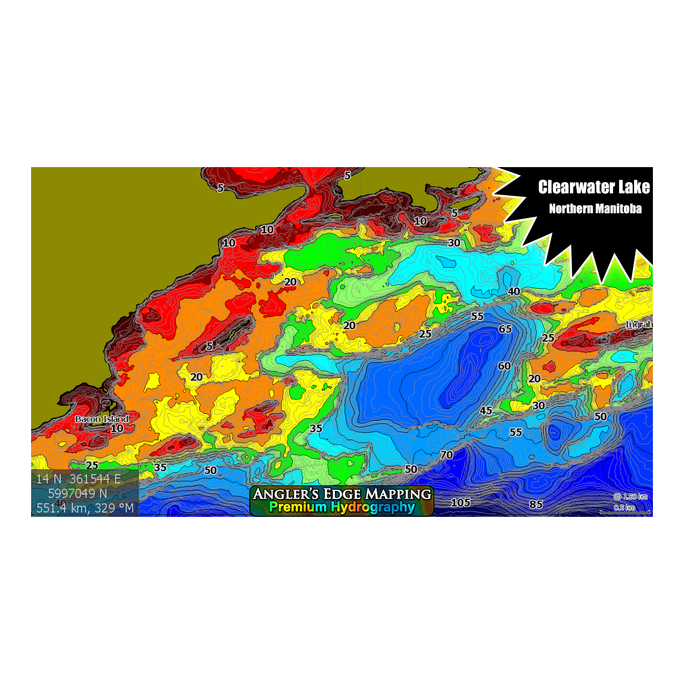
• Accurate, true-to-life location & shape of structure, features & shorelines
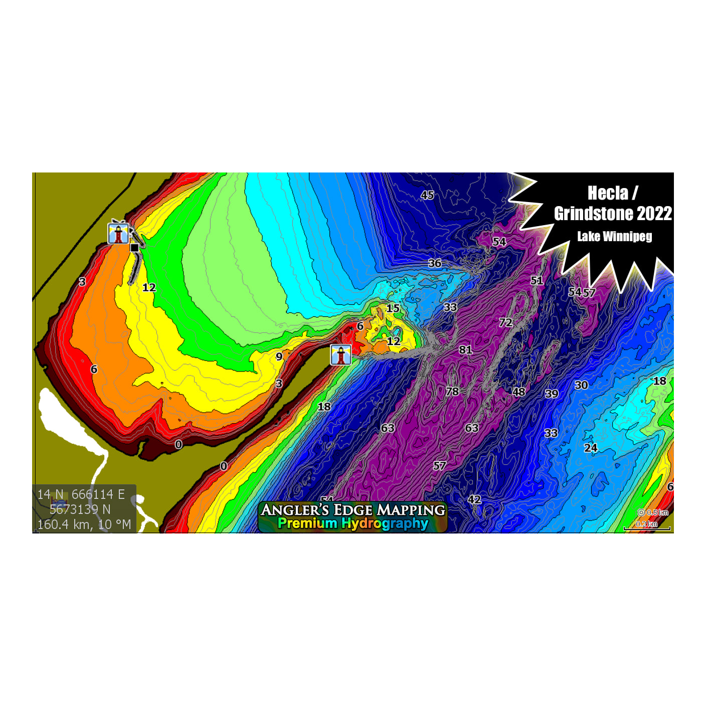
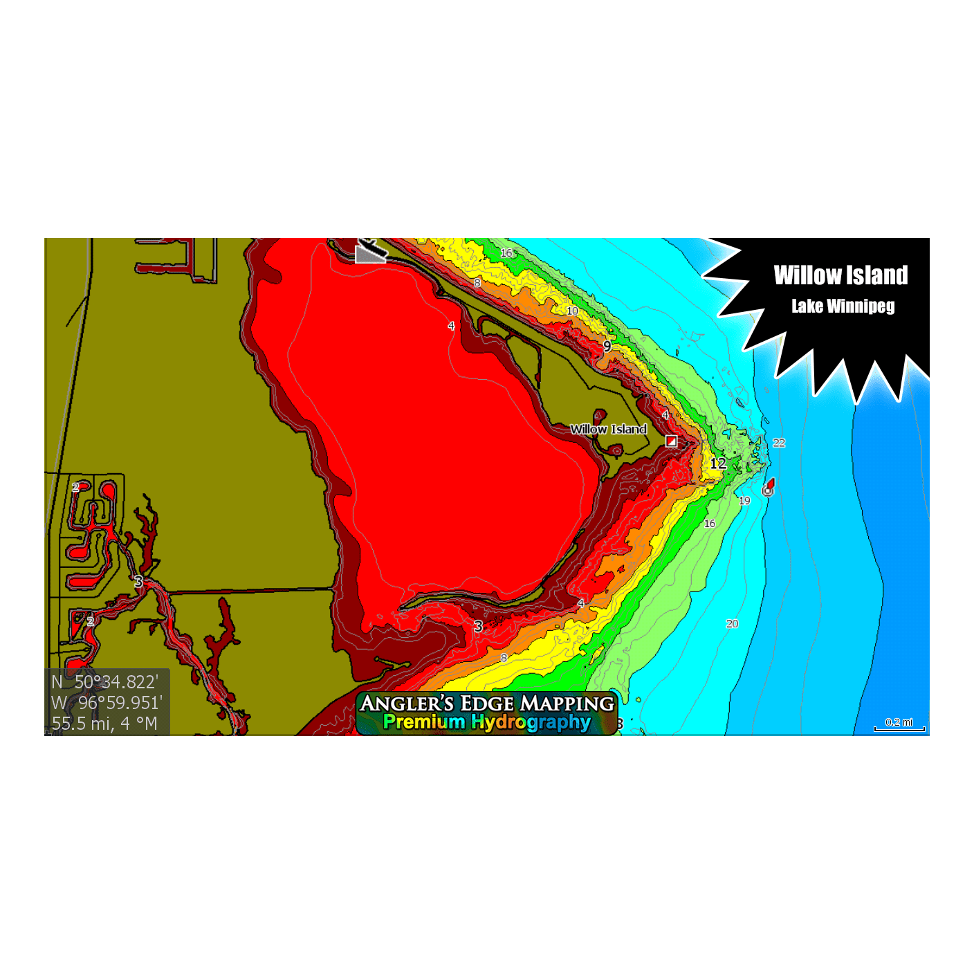
• User friendly chromatic colour palette makes determining depth easy (purple = deep, red = shallow)
• Exclusive coverage for many lakes
Angler’s Edge Mapping (AEM) Digital Maps allow you to view your favorite water bodies like never before, making your fishing trips more productive. We map. You fish. Created from AEM exclusive survey data, carefully processed using modern equipment and techniques, these maps have set a new standard in Manitoba & Northwest Ontario.
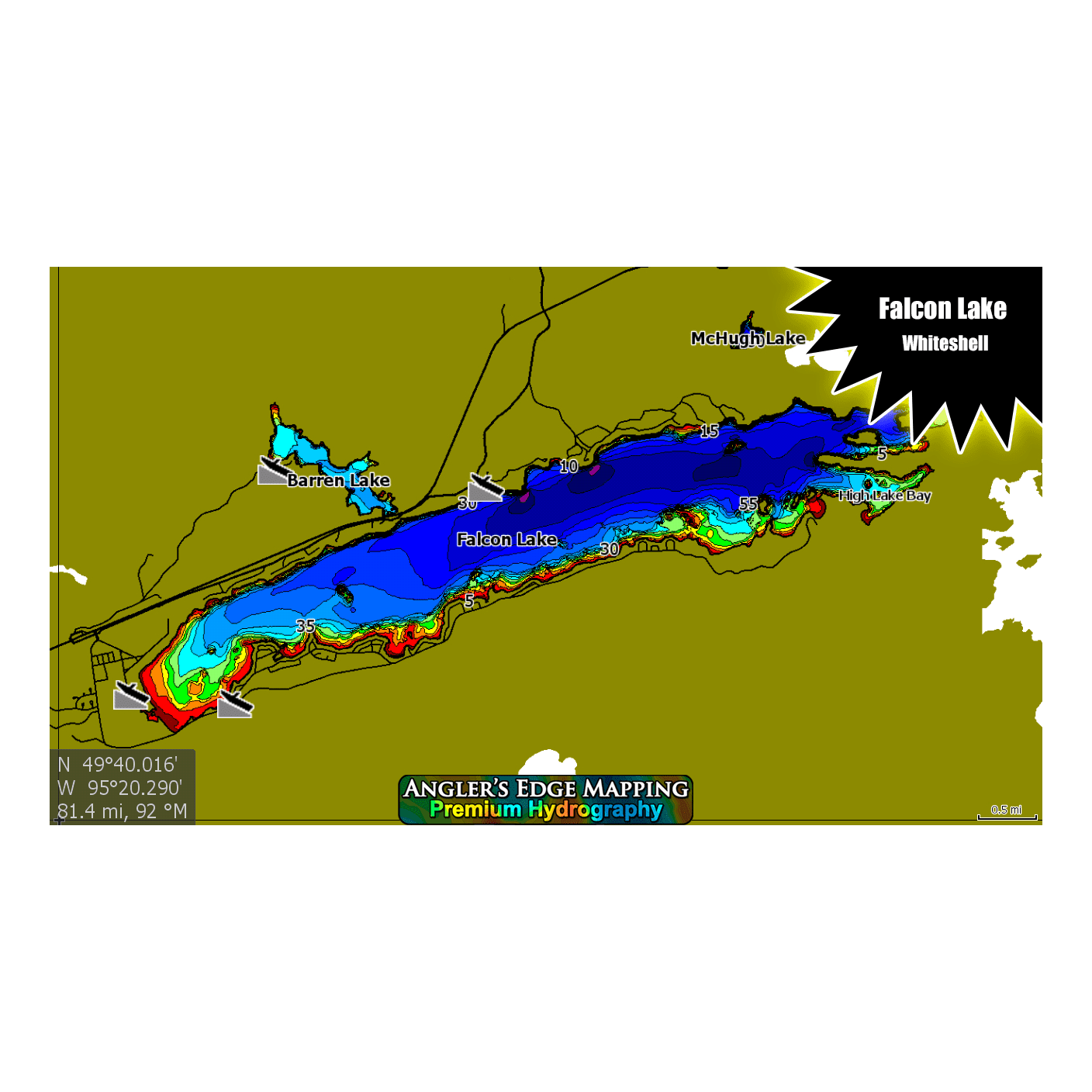
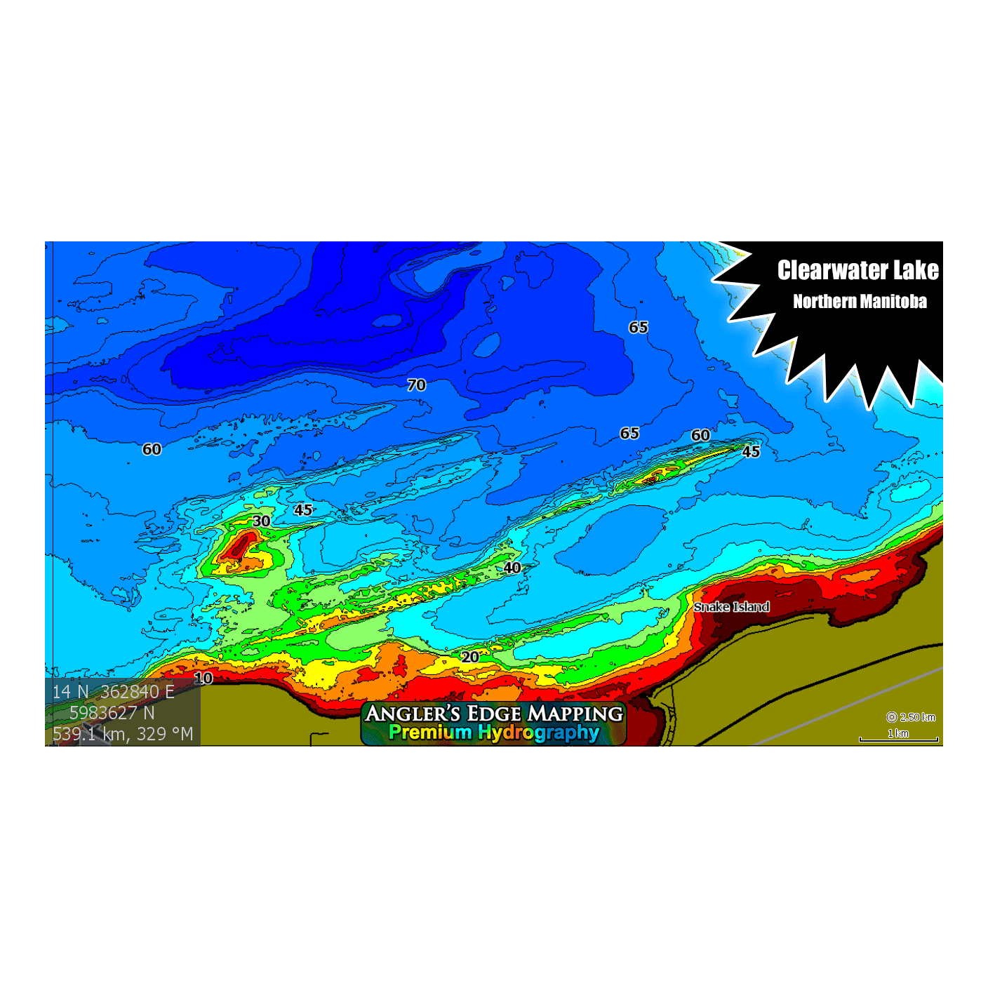
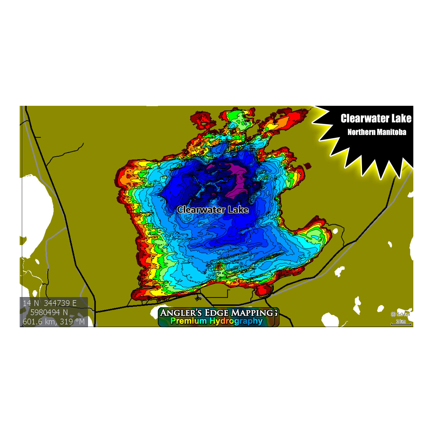
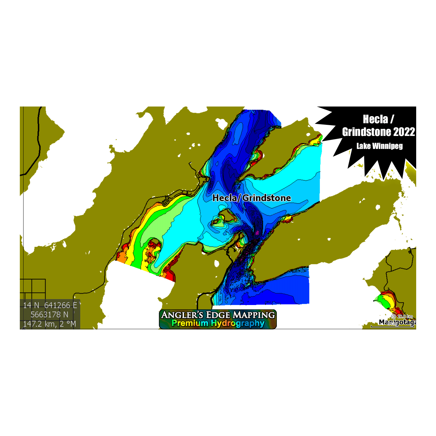
Coverage includes: Anton's Lake, Barbe Lake, Barren Lake, Beautiful Lake, Bedford Lake, Beresford Lake, Betula Lake, Big Whiteshell Lake, Bird Lake, Bradley Lake, Black Sturgeon Lakes (Upper & Lower), Booster Lake, Brereton Lake, Buffalo Bay (LOTW), Caddy Lake, Clearwater Lake (Complete), Corstorphine Lake, Crater Lake, Deception Lake, Dorothy Lake, East Goose Lake, Eleanor Lake, Falcon Lake, Flanders Lake, Footprint Lake, Garner Lake, Grand Rapids (tailrace to bridge), Great Falls Reservoir (McArthur Falls to Great Falls), Gull Lake, Heart Lake, Horseshoe Lake, Hunt Lake, Jessica Lake, Killarney Lake, Lac du Bonnet, Laurie Lake, Killarney Lake, Lake Minnewasta, Lake Of The Prairies (Shellmouth Dam to Togo Bridge), Lake of the Woods 2021 (Rush/Echo/Deception/Woodhcuck bays, Clearwater Bay + western portion of Ptarmigan Bay), Lake Winnipeg (South Basin from Gimli to Belair to south shore, + Hecla/Grindstone 2022), Lee River incl. Pinawa Bay & Pinawa Channel, Lone Island Lake, Lyons Lake, Manigotagan River (Lower), Mantagao Lake, Margaret Lake, Mary Jane Reservoir, Maskwa River, McHugh Lake, Meditation Lake, Mid Lake, Moose Lake, Nason Lake, Natalie Lake, Nora Lake, Norris Lake, North Cross Lake, Numao Lake to Slave Falls, Nutimik Lake, Otter Falls & English River, Patterson Lake, Pelican Lake, Pinawa Bay, Pine Falls, Pine Falls Reservoir, Pointe du Bois Reservoir (PDB to Lamprey Rapids), Red River: Central, Red River: North, Red Rock Lake, Rice Lake, Royal Lake, Scotty Lake, Shoal Lake 2019 (Clytie/Bag/Indian/ Snowshoe Bays + north central main lake), Shoe Lake, Silver Falls (Winnipeg River), Slave Falls Reservoir (Pointe du Bois to Slave Falls), South Cross Lake, St. George (Winnipeg River), Star Lake, Stephenfield Lake, Summerhill Lake, Sylvia Lake & Pinawa, Tokaryk Lake, Twin Lakes, Wasp Lake, Webster Lake, West Goose Lake, West Hawk Lake, White Lake, Whitemud Falls (Winnipeg River), Whitemud River (Lower)
• Area specific packages (Whiteshell, Nopiming, Winnipeg River, Northwest Ontario, Northern Manitoba, Lake Winnipeg, Western Manitoba, Southeast Manitoba) are also available
• AEM catalog expands annually, and existing customers can upgrade for reasonable prices when new content is released.
Compatible with Lowrance® sonar models:
HDS Button Models, Gen 1 & 2
• HDS-5, HDS-7, HDS-8, HDS-10
HDS Touch Models, Gen 2, 3 & Carbon & Live
• HDS-7, HDS-9, HDS-12, HDS-16
Elite Models
• Elite-4 Chirp/HDI, ELITE-5M, Elite-5 Chirp/HDI, Elite-5 TI, Elite-7 Chirp/HDI, Elite-7 Ti, Ti2 & FS, Elite-9 Chirp, Elite-9, Elite-9 Ti, Ti2 & FS, Elite-12 TI & Ti2, + All “Ice Machine” Versions.
Hook Models
• Hook-4, Hook-5, Hook-7, Hook-9
Hook2 Models
• Hook2-5, Hook2-7, Hook2-9, Hook2-12
Hook Reveal Models
• Hook Reveal 5, Hook Reveal 7, Hook Reveal 9
***AEM digital maps are also compatible with modern Simrad and B&G sonars.
